
Camden County ZIP Code Coverage
The official Camden County ZIP boundary service says the county has 36 ZIP-code areas. The research also names the postal routes below, but it does not provide a complete, verified 36-row attribute export. Treat this as a documented working table, not a promise that every boundary-service row is listed. A ZIP is delivery geography, so the postal city beside a code can differ from the municipality that assesses the parcel or keeps local records.
| ZIP | Areas Covered | Post Office | Notes |
|---|---|---|---|
| 08002 | Cherry Hill | Cherry Hill | May cross administrative lines. |
| 08003 | Cherry Hill | Cherry Hill | Multiple postal and road corridors. |
| 08004 | Atco | Hammonton/Atco routing | Winslow/Atco-area association. |
| 08009 | Berlin | Berlin/Hammonton routing | Verify the parcel municipality. |
| 08012 | Blackwood | Blackwood | Gloucester Township/Blackwood area. |
| 08021 | Clementon | Clementon | Clementon and nearby borough area. |
| 08030 | Gloucester City | Gloucester City | Waterfront city/county area. |
| 08031 | Gloucester City/Bellmawr area | Gloucester City | Shared or cross-boundary routing. |
| 08033 | Haddonfield | Cherry Hill routing | Check edge-area municipality. |
| 08034 | Cherry Hill | Cherry Hill | Cherry Hill Township corridor. |
| 08035 | Haddon Heights | Camden routing | Postal label is not municipal proof. |
| 08043 | Voorhees | Voorhees | County library and records context. |
| 08045 | Lindenwold | Woodbury routing | Check address by address. |
| 08049 | Clementon | Clementon | Boundary check remains useful. |
| 08059 | Merchantville | Merchantville | USPS bulletin associates it with 08109. |
| 08078 | Gloucester City | Gloucester City | Verify current USPS address. |
| 08081 | Sicklerville | Sicklerville | Gloucester Township/Winslow-area addresses. |
| 08083 | Somerdale | Clementon routing | Postal city may be Clementon. |
| 08084 | Sicklerville | Clementon routing | Boundary and route may differ. |
| 08089 | Waterford/Atco area | Clementon routing | Use USPS and address map. |
| 08091 | West Berlin | Clementon routing | Berlin Township/West Berlin area. |
| 08101 | Camden | Camden/08102 routing | Camden city route. |
| 08102 | Camden | Camden | County courthouse and Clerk ZIP context. |
| 08103 | Camden | Camden | Camden city neighborhoods. |
| 08104 | Camden | Camden | Carrier Annex also appears in USPS material. |
| 08105 | Camden | Camden | Camden city neighborhoods. |
| 08106 | Merchantville | Merchantville/08109 | Postal crosswalk can differ from municipality. |
| 08107 | Camden | Camden/08105 | Verify the exact delivery address. |
| 08108 | Camden | Camden/08105 | Camden/river corridor. |
| 08109 | Merchantville | Merchantville | Merchantville/Pennsauken-area route. |
| 08110 | Merchantville | Merchantville | Legal boundary requires GIS and USPS check. |
Use the official Camden County ZIP boundary service to inspect the published service itself. The screenshot shows the source that reports 36 ZIP-code boundary areas, while the text research did not expose all 36 rows with full postal details.
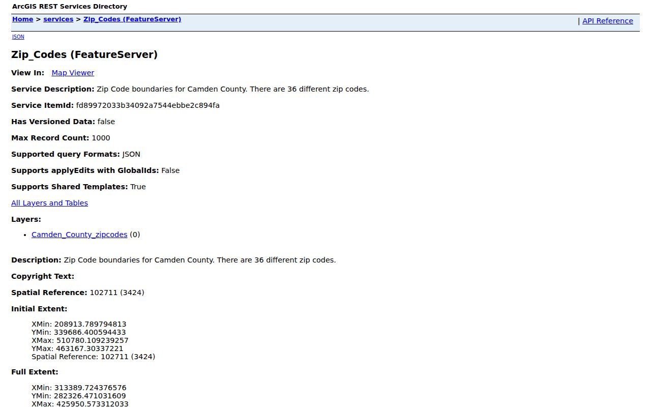
Before relying on a boundary, pair the service result with a current address check. That avoids turning an incomplete export or a broad postal label into a claim about legal municipal coverage.
Camden County ZIP Boundary Service
The 36-area count is useful context, not a ready-made list of every address. The county needs-assessment material exposes fewer named ZIPs than the ArcGIS service count, and USPS routing material adds crosswalk and sectional-center examples. The gap is documented, not something to fill by guessing. For a full current list, query the service layer’s Camden_County_zipcodes records and validate each result through USPS before publishing it as complete.
NJGIN’s road-centerline data adds another layer. It carries ZIP code, ZIP name, alternate road names, address ranges, municipality, feature status, and update information. Those road segments are helpful when a postal label is vague, especially at a municipal edge. They are still a verification layer, not a substitute for the municipal tax record or a recorded legal description.
Verify Camden County ZIP Codes
The safest ZIP-first step is an exact-address check through the USPS ZIP Code Lookup. Enter the street address, city, and state, then keep the returned ZIP and postal city with the address you searched. If the result conflicts with a map label, do not choose the one that looks familiar. Compare the municipal parcel record and the legal description as well.
| USPS path | What to retain | Why it matters |
|---|---|---|
| Look Up a ZIP Code by address | Standardized delivery address, city, state, ZIP | Confirms the current delivery result before a parcel search. |
| Postmaster Finder | ZIP, post office, state, establishment or discontinuance details | Useful for postal-history context, not current validation. |
| County GIS and tax record | Municipality, parcel, block/lot, situs address | Connects the postal result to the legal local jurisdiction. |
The USPS Postmaster Finder accepts first-three-digit from and to ZIP inputs and can return establishment or discontinuance dates. Its own warning says historical entries may not be current, which is why the address lookup is the required fallback for a live delivery question.
The USPS address-to-ZIP lookup is the source shown below. It belongs at the start of a Camden County ZIP code directory search because it verifies the address before GIS or tax records are used.
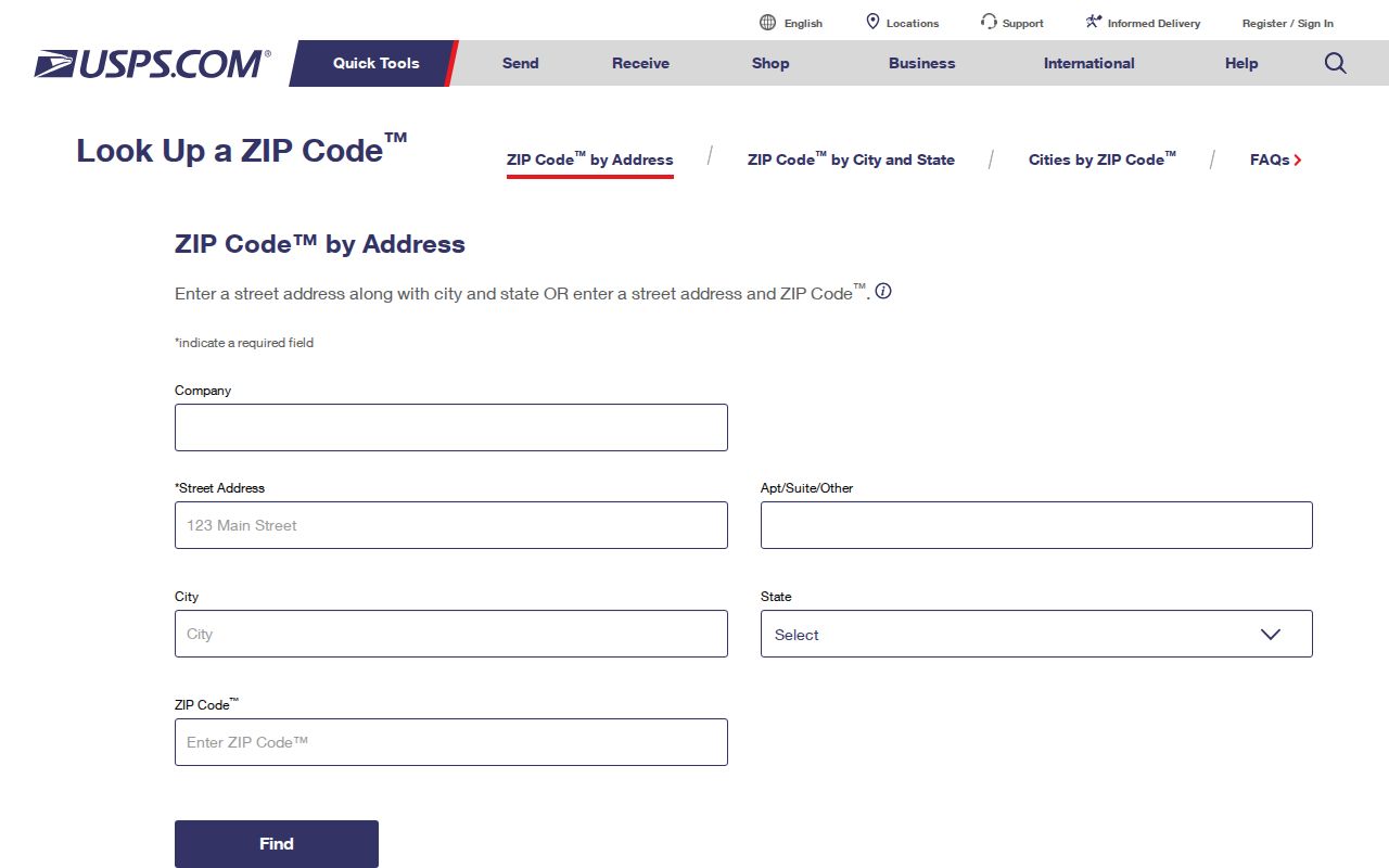
After USPS returns the delivery ZIP, use the municipal record to determine the jurisdiction. A postal result confirms mailing geography, not ownership, residency, or municipal boundaries.
Note: Keep the ZIP result, municipality, and parcel identifier together so a later search does not confuse postal geography with the government record keeper.
Find Residents by Camden County ZIP
A ZIP can help narrow an address, but the inspected county tools do not show a public ZIP-first resident roll. Begin with a verified address and use it to identify the municipality. The next move is geographic: search the address or street in the county map, capture the block and lot, then use the tax and deed sources for the parcel. Voter records use municipality, ward, district, and residence address rather than ZIP.
- Confirm the delivery ZIP and postal city with USPS, using the full street address rather than a ZIP prefix alone.
- Check the Camden County municipality list and the map record to identify the legal municipality.
- Search Camden County Property Information Mapping by address or street, then record the parcel’s municipal code, block, lot, or PIN.
- Use the parcel details in the tax hub or Clerk records when an ownership or recorded-document question remains.
Once a ZIP narrows the location to a street, the address-by-address work belongs in the Camden County street directory. A ZIP is a broad slice; the street and parcel are the dependable bridge to a specific public record.
Camden County ZIP Search Limits
The Camden County Property Assessment Data Search Hub exposes Town, Owner Name, Property, B.L.Q., class, Class4, sale date and price, building square footage, and year-built controls. Its static interface does not show a ZIP filter. It can be useful after the correct municipality is known, but it should not be described as a ZIP-wide search tool.
| Camden resource | Visible search fields | ZIP role |
|---|---|---|
| Tax-data hub | Town, owner, property, B.L.Q., class, sale date/price, size, year built | No visible ZIP control in the inspected interface. |
| myiDV GIS | Address, block/lot, owner, PIN, street | Move from verified ZIP to address, street, and parcel. |
| NJGIN roads | Road attributes including ZIP, ZIP name, municipality, address ranges | Verification for ZIP-coded street ranges. |
| NJ voter sources | Name, residence address, municipality, ward, district | Not a public ZIP roster. |
The county GIS search is available through myiDV. Its visible controls are address, block/lot, owner, PIN, and street, so use it after address confirmation rather than expecting a ZIP field that was not captured in the inspected interface.
Camden County Postal Boundaries
Camden County has 36 separate municipalities, not one countywide addressing authority. A postal city is a delivery label, while the incorporated city, borough, or township is the government unit that keeps many local records. An address labeled Cherry Hill, Camden, Merchantville, Blackwood, Clementon, or Gloucester City can require a closer jurisdiction check when it lies near a ZIP or municipal edge.
- ZIP code
- A postal delivery area. It helps route mail but does not define a municipal border or a household list.
- ZIP+4
- An added four-digit delivery detail after the five-digit ZIP. It refines mail sorting, not property jurisdiction.
- PO-box ZIP
- A ZIP assigned for post-office boxes. It should not be treated as the location of a residence or parcel without another record.
- Unique ZIP
- A ZIP used for one institution or large recipient. No Camden County unique-ZIP claim is made here without current USPS confirmation.
- Carrier route
- A mail-delivery sequence within a postal area. It can aid mailing context but is not a legal boundary.
For a disputed address, compare USPS, municipal tax or GIS data, the NJGIN road centerline, and the recorded legal description. The difference between a situs address, an owner mailing address, and a block-and-lot description can explain why two legitimate records use different place names.
Camden City ZIP Code Routes
Camden City is represented in the researched postal material by 08101 through 08110 routes, with some routing notes that point to Camden/08102, Camden/08105, or Merchantville/08109. Those notes are a warning against treating the first city name on a label as the legal answer. The courthouse and County Clerk address provide 08102 context, but a nearby address can still require a separate USPS and parcel check.
The same caution applies outside Camden City. The source names examples such as 08031 for the Gloucester City/Bellmawr area, 08045 with Woodbury routing, and 08083 or 08084 with Clementon routing. These are useful leads for a ZIP code directory, not stable evidence that all addresses in the route sit in one municipality.
Camden County ZIP Voter Geography
New Jersey voter records are organized around a person’s residence address, municipality, ward, and district, not a ZIP-first public roster. The New Jersey voter-registration portal directs an individual to the status-search route and stresses exact county-supplied name spelling. It is not a way to list everyone associated with a postal area.
For election geography around a known parcel, use the county election maps to identify the municipality, ward, and district. Statutory voter-list requests have access and use limits, and protected addresses are excluded where the law requires it. A ZIP therefore helps orient the address, while the local election district supplies the voting jurisdiction.
Camden County ZIP History
Historical resident records usually follow city, township, street, or parcel names, not ZIPs. Camden County Library and the Camden County Historical Society hold city directories, telephone books, maps, newspapers, and census material that can place an older address in time. Bridge an older postal label through the current municipality and block or lot before assuming it belongs to the same place shown on a modern map.
That matters in a county whose municipalities and postal labels do not line up cleanly. A directory absence is not proof that a person was absent, and a ZIP should not replace the city label used by the historical source. Compare the original address, date, and the record’s own place name.
Note: Postal labels change more easily than legal descriptions, so save the source date whenever an older address is matched to a current Camden County ZIP.